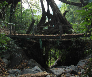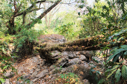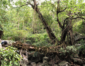
| RIVER/STREAM: | WAH UMSHA |
| LENGTH: | 11.4 m |
| WIDTH AT CP: | .8 m |
| HEIGHT AT CP: | 3.6 m |
| GPS: | N25.23830 E91.79356 |
| ALTITUDE: | 331 m |
| SR: | 6 |
| NOTES: | A small root bridge between Sohkmi and Tyrngei villages. The bridge shows significant indications of recent maintenance. The roots are strong and well established. There is, however, very extreme and in places recent latex extraction damage evident. |
NOTE: PLEASE GO TO ANALYTICS AND ANALYSIS (APRIL 2017 DRAFT) FOR METHODOLOGIES. LR PROJECT DESIGNATION DOES NOT REFLECT LOCAL NAME.

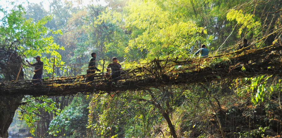
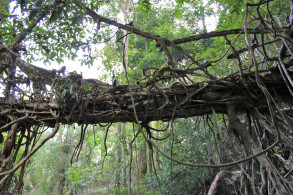
Tyrngei 1. Note the young roots that have been attached to the structure.

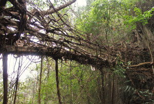
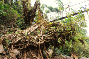
Old, damaged root, and new roots tied to the structure.