| NOTES: |
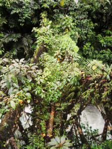
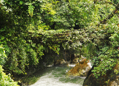
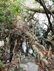
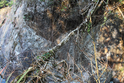
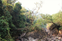
This is an abandoned fragment of a much larger, three span, living root bridge. The bridge was destroyed in recent memory, perhaps as recently as the late-90s/early 2000s, by a flood. The path that it serviced was rerouted over a steel-wire suspension bridge. The structure originally started on the east bank of the Simtung river, where the span that still survives crossed to a river island. From that island, another span (of which a remnant still exists), crossed to a second island, and then a third span, now completely gone, crossed from that island to the west bank. The surviving span is not maintained and is overgrown, though it is still possible to walk across it. It has become significantly more hazardous to cross between my first visit in 2012 and March 2016. There has been some discussion in Nongriat Village of reconnecting and regrowing the structure for heritage and tourism purposes, though no action had been taken as of March 2016. |
