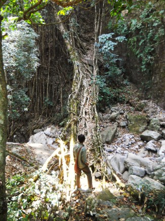
| RIVER/STREAM: | WAH MDON |
| LENGTH: | 16.9 m |
| WIDTH AT CP: | 1.3 m |
| HEIGHT AT CP: | 3.3 m |
| GPS: | N25.28552 E91.77377 |
| ALTITUDE: | 739 m |
| SR: | 6 |
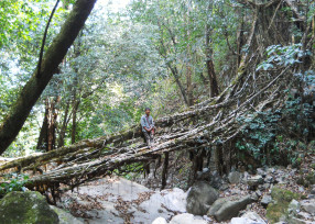
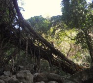
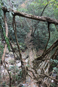
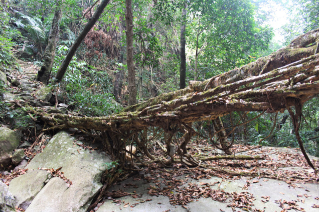
| NOTES: | This bridge has an unusual, sloping configuration. The tree is leaning out over a cliff. Roots have been trained onto the side of another rock face to keep it from falling off, meaning that the tree is modified in several places that are not part of the bridge. The root bridge remains structurally sound. A 6 SR is given because 1: It shows signs of recent moderate latex extraction cutting and some limited damage due to flooding, and 2: Most of the nearby jungle has been burnt down in shifting cultivation fires. The jungle pictured above is a remnant. Fires were actively burning within a few minutes’ walk. Fire damage and landslide damage are likely in the near future. |

