| NOTES: |
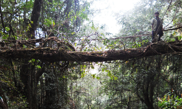
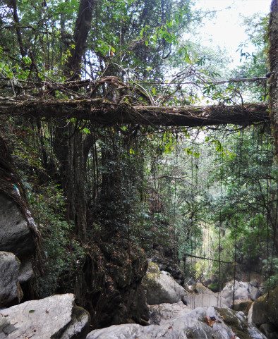
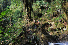
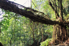
This is a highly unusual living root bridge with two spans arranged at a 90-degree angle, forming an “L” shape. The location of the bridge is unusually scenic, as the longer bridge crosses directly over a 20m waterfall, and there is another 20-30 m waterfall directly behind the bridge. While both spans are stable, not all the roots are well established. Recent maintenance was evident in April 2016. Unfortunately, the Pynursla stream is badly polluted, and much of the shorter span of the root bridge was covered in trash at the time of my last visit. While it is unclear how much the trash harms the bridge, it greatly diminishes the aesthetic appeal of the bridge itself and of the setting. |


