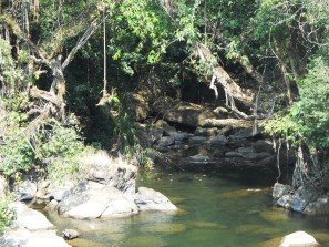
| RIVER/STREAM: | WAH AMLAMAR |
| GPS: | N25.23202 E92.03087 |
| ALTITUDE: | 631 m |
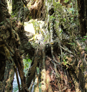
| NOTES: | This root bridge was destroyed due to a fire which occurred approximately 15 years ago. The fire didn’t completely destroy the bridge, but it damaged it enough that the bridge had to be abandoned, and then it slowly withered away. Some badly damaged remnants are still in evidence on the eastern side of the Amlamar River. |
NOTE: PLEASE GO TO ANALYTICS AND ANALYSIS (APRIL 2017 DRAFT) FOR METHODOLOGIES. LR PROJECT DESIGNATION DOES NOT REFLECT LOCAL NAME.

